(
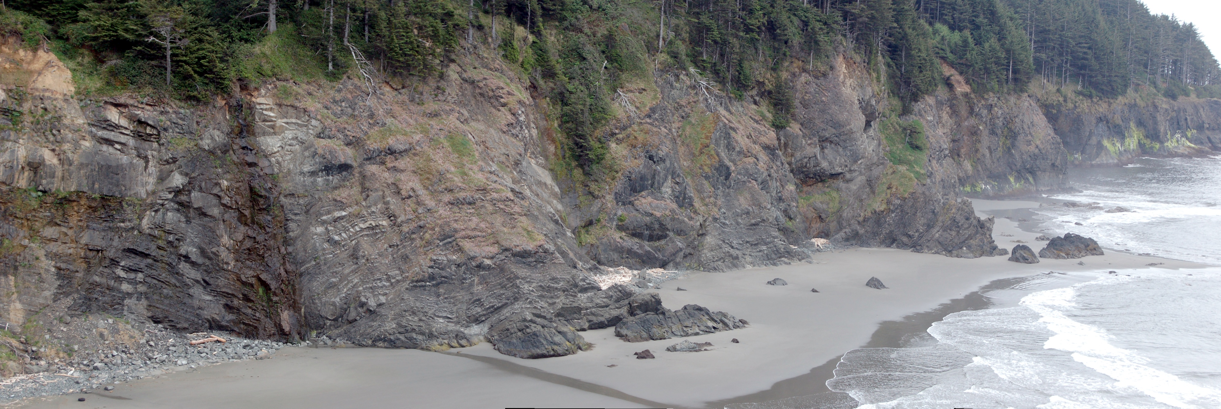
Size options here) Looking southward from the promontory toward Arch Rock, in Samuel H. Boardman State Park. It looks as if there's a fault cutting through the folded sediments to the left, under the small stream that runs down the cliff and across the beach. The sediments themselves look as if they're likely turbidites. Page 15 (as paginated in the PDF; 71 in original) of
this document says that this is once again Otter Point Formation, the same as the
Bandon Blueschist, and the bedrock below the Miocene/Pliocene terrace gravels at
Cape Blanco. Note that the date of the publication is 1975, well before the finer details of flake tectonics/terrane accretion were developed. I find older things like this useful for getting myself oriented, but try to keep in mind that nomenclature, and certainly broad relationships (i.e. beyond outcrop scale) have quite possibly been largely revised.
Panorama stiched in Hugin, converted to .jpg and run through autolevels routine in Paint.net. May 8, 2013.
FlashEarth location.


No comments:
Post a Comment