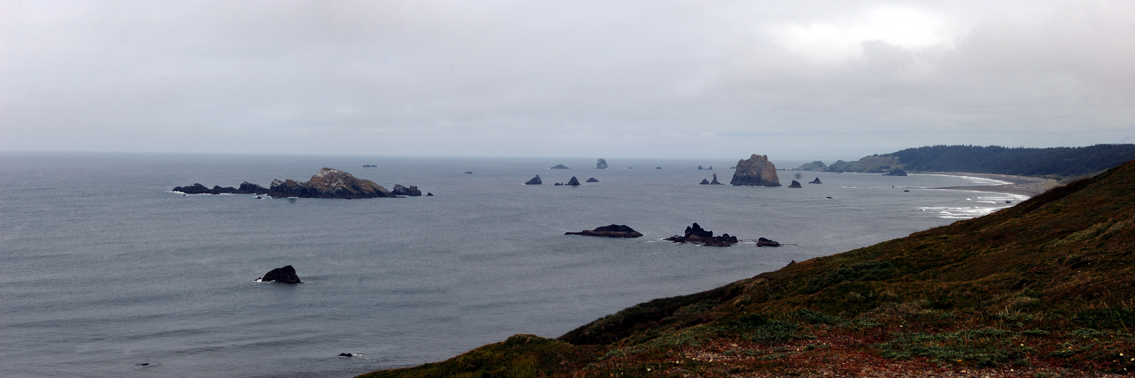
After a good lunch in Bandon, we continued south to Cape Blanco, the western-most point on the Oregon Coast. The rock here is
Cretaceous Jurassic (See
Geo 365: Nov. 9, Day 313: Greywacke) in age, and appears to be low-grade meta-sediments, with a lot of fracturing and faulting. As such, it's much more resistant to weathering and erosion than the Coast Range sediments farther north. (The boundary between the Coast Range and Klamath-Siskyou rocks is between Coos Bay and Bandon.) As a result, the coast in southeast Oregon is more rugged, with many more sea stacks, than most of the central and northern coast, with the main exceptions being basalt headlands in the Coast Range province. The tectonic disruption also means much greater heterogeneity over short distances, which further enhances the development of sea stacks.
A small delta from the Sixes River can be seen in the right-middle of the panorama. It's not terribly obvious here, but there is a series of quite well developed elevated marine terraces in this region; Cape Blanco State Park includes examples of at least three I can identify. This is also the closest one can get on land to the Juan de Fuca/Cascadia subduction zone; it's only about 35 miles offshore here.
Photo stitched in HugIn, auto-leveled in Paint.Net for improved contrast and color. May 7, 2013.
FlashEarth location.


No comments:
Post a Comment