Wednesday, we'd planned to spend most of the day in the Columbia River Gorge, but as we approached I-84 on I-205, the air quality was just
ooogly. It got better as we proceeded, but it never got really good, and the waterfalls were mere trickles- unsurprising given how dry this summer was. On top of that, the historic highway is closed until the end of the year from Larch Mountain to Bridal Veil... there are plenty of other things to see, but that is one of the best stretches. We decided to pull off at Multnomah Falls and try to decide what to do.
Crown Point from I-205, looking up through the haze. As I've mentioned before, that point was submerged by the Missoula Floods.
Multnomah Falls from the parking area between I-205 eastbound and westbound... hazy and weak flow.
The best spot to see the Bridge of the Gods landslide is from the
top of Beacon Rock- yes there is quite a nice complex of stairs and trail segments to climb to the top of that pinnacle, an old volcanic neck, on the Washington side of the river. However, the poor air quality made that an unattractive choice.
Dana wanted to see Bridge of the Gods (which she didn't realize was also an actual bridge) at Cascade Locks (which she didn't realize was also an actual town), so we postponed decision-making until we'd done that. It was stop at a spot I quite liked, and while I'd been to the area many times, I'd not been to
the parkish spot where the sternwheeler sight-seeing boat tour docks; it was a very nice site.
The bluffs on the mid right and left are the south and north sides of the river. Prior to this enormous landslide, the river would have run pretty much right down the middle of this photo. As you can see, it was pushed well to the south by the run-out and toe of this slide. You can see the slide quite well in the FlashEarth link above.
This is also called the Bridge of the Gods.
We decided to bag further exploration of the Gorge, and drove east to Hood River (which is also a town in addition to being a river), and drove up Route 35 to Mount Hood.
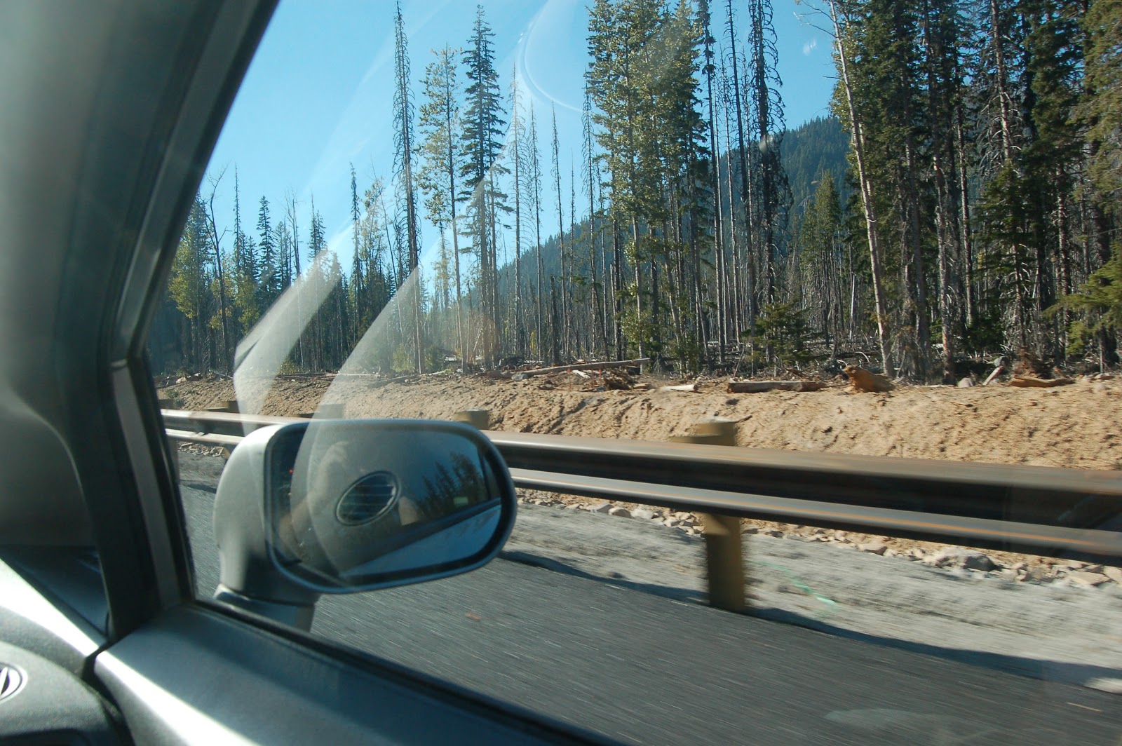
Trees damaged and suffocating from overflow lahar deposits near White River...
...and the
newly-rebuilt bridge over White River, with Hood looming on the skyline. This was without a doubt the most exciting moment of the day for me. There was a lot of road work and heavy machinery, so there was no possibility of stopping and looking more carefully. But still... very powerful stuff here!
Zoomed in for a better view of lahar deposits. You can also see the upper ski "hut" for the ski area out of Timberline on the slope in the middle of the photo.
A view of Mount Hood's summit, from a pullout just before Timberline Lodge.
Looking down the spine of the Cascades; Mt Jefferson is barely visible poking up through the haze in the right middle of the horizon. Timberline Lodge is just out of frame on the right.
Beautiful tile mosaic in the entry hall of the ground floor of Timberline Lodge.
Looking back at the lodge as we were leaving.
So our third day of geogalavanting was not what we expected it to be when we set out in the morning, but you'll hear no complaints from me! (
And Part 1 of our geogalavant this fall is here, if you missed it.)


No comments:
Post a Comment